誌· SCREENSiOS
A notebook for your Taiwan rail trips.
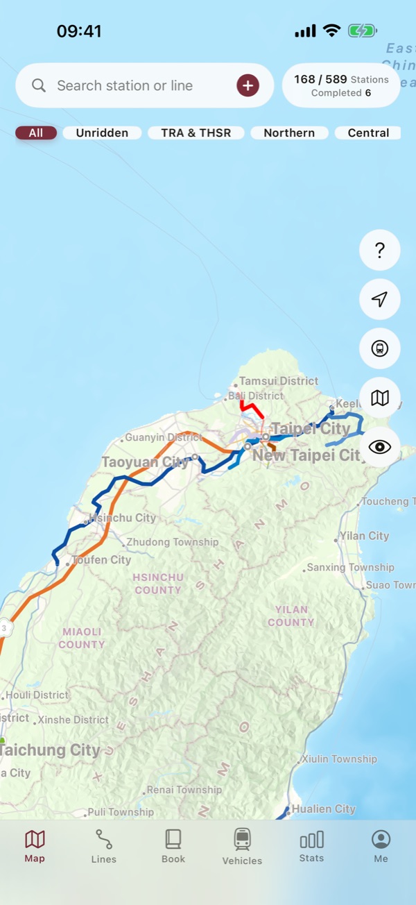
Tap a station to log the ride, and Taiwan's rail map slowly becomes your own. The TRA network, Taiwan High Speed Rail, metro and light rail in Taipei, New Taipei, Taoyuan, Taichung and Kaohsiung, and the Alishan Forest Railway — 39 lines and 589 stations in one log.
Tap any station on the map, or pick a start and end to log a whole stretch at once. Backfill trips from years ago by picking the date.
Ridden stretches are painted in the line's real color; the rest stays grey. Filter to unridden lines when you plan the next trip.
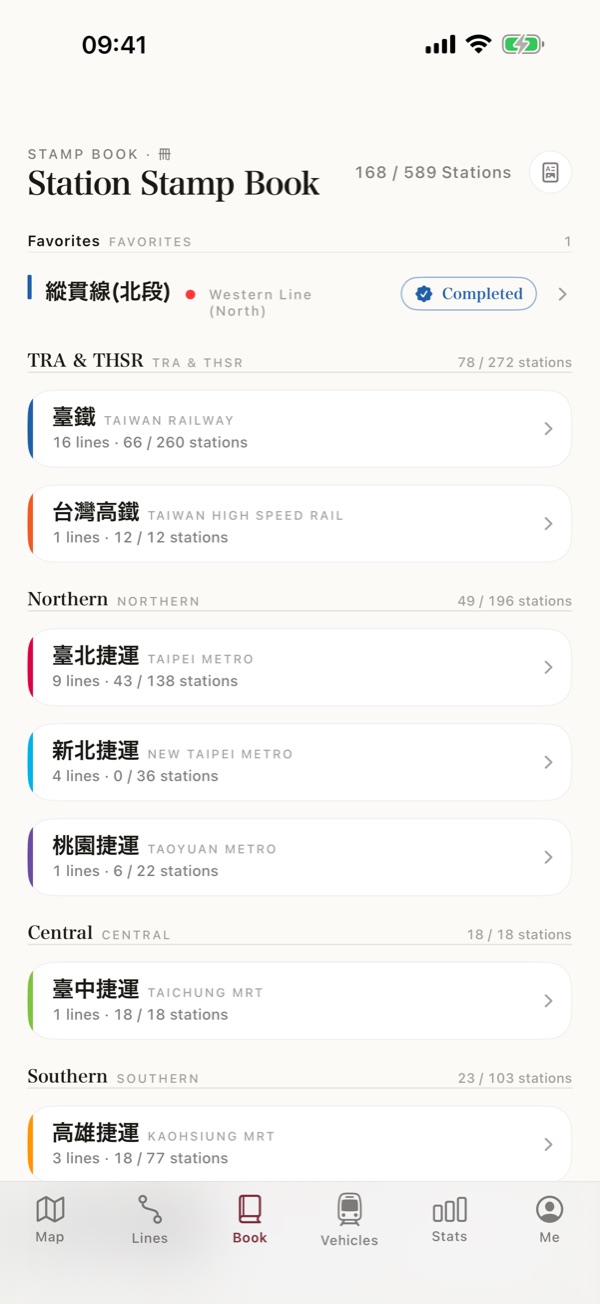
Every station you visit becomes a stamp in your stamp book. Finish a line and a card appears, ready to share.
All 16 TRA lines, from the Western and South-Link trunk lines to the Pingxi, Jiji and Neiwan branches; Taiwan High Speed Rail; metro and light rail in five cities; and the Alishan Forest Railway. Transfer stations shared by TRA, HSR and metro are grouped as one.
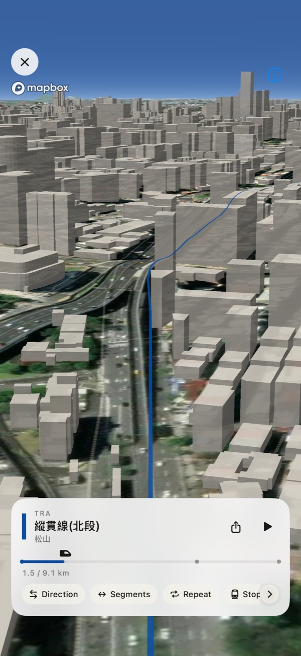
Follow the stretches you rode from above, over satellite imagery and 3D buildings. Underground, you fly over the streets above. Export the flight as a video.
Pick a start and end station and every stop between is marked at once. Any date works, and GPS finds the station you're standing at.
Finish a line or reach a station milestone and a celebration card appears — share it straight to social media.
See how much of each county and city you've covered, shaded on a map of Taiwan. Plus an A4 PDF stamp book.
From the THSR 700T and the Puyuma and Taroko expresses to metro trains and Alishan's steam locomotives.
iCloud sync carries your log to a new iPhone, free. Export a JSON backup or a spreadsheet-ready CSV any time.
High Speed Rail between cities, the Pingxi Line on a day trip, the whole island by train — start with the first station.
Taiwan Rail Log records the stations you have visited and the lines you have ridden across Taiwan Railway, High Speed Rail, the MRT systems and the Alishan Forest Railway, on a map and stamp book.