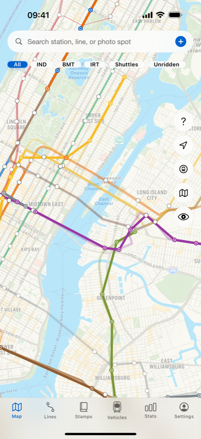
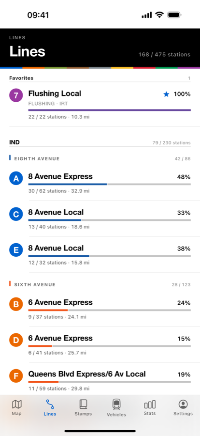
Mark a station and the line fills in — in the colors you already read off the wall. Rides from years ago count too.

No check-in, no GPS chase. Log it whenever — on the platform or a month later.
One tap per station, or set a start and end and log the whole stretch at once.
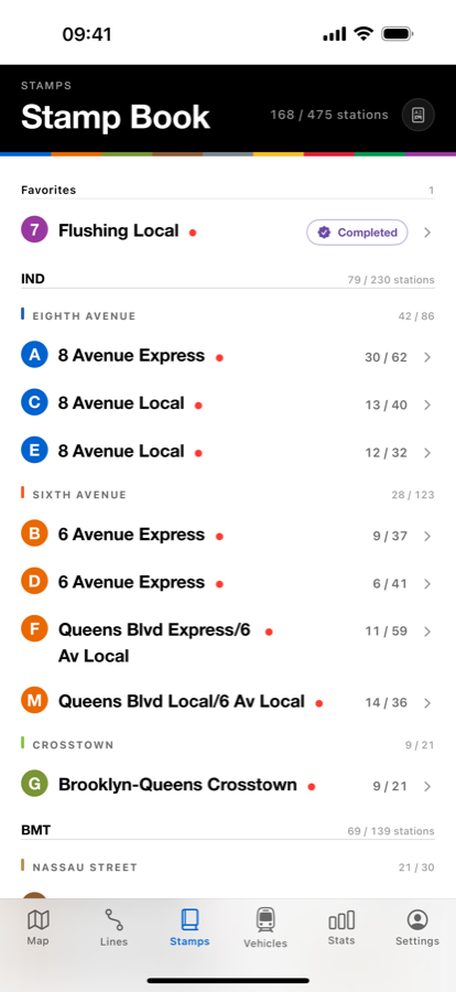
The line colors in over real track. Finish one end to end and you get a card for it.
Line colors, station names, and track geometry come straight from the MTA's public GTFS feed — the same data that drives the countdown clocks. Nothing hand-picked.


A real one, and a network view that strips everything away but the subway.
A heatmap that shows where you've actually been — and where you haven't.
Ride a service end to end and get a card with the route on it.
Attach either to any station visit. Photos stay on your device.
From the R32 Brightliner to the R211. Mark what you've ridden and seen.
Free for everyone. Your records survive a new phone.
Start with one. The 7 is already in your favorites.